European Scientists Deploy Satellites and Models to Predict Wildfires from Italian Research Hub
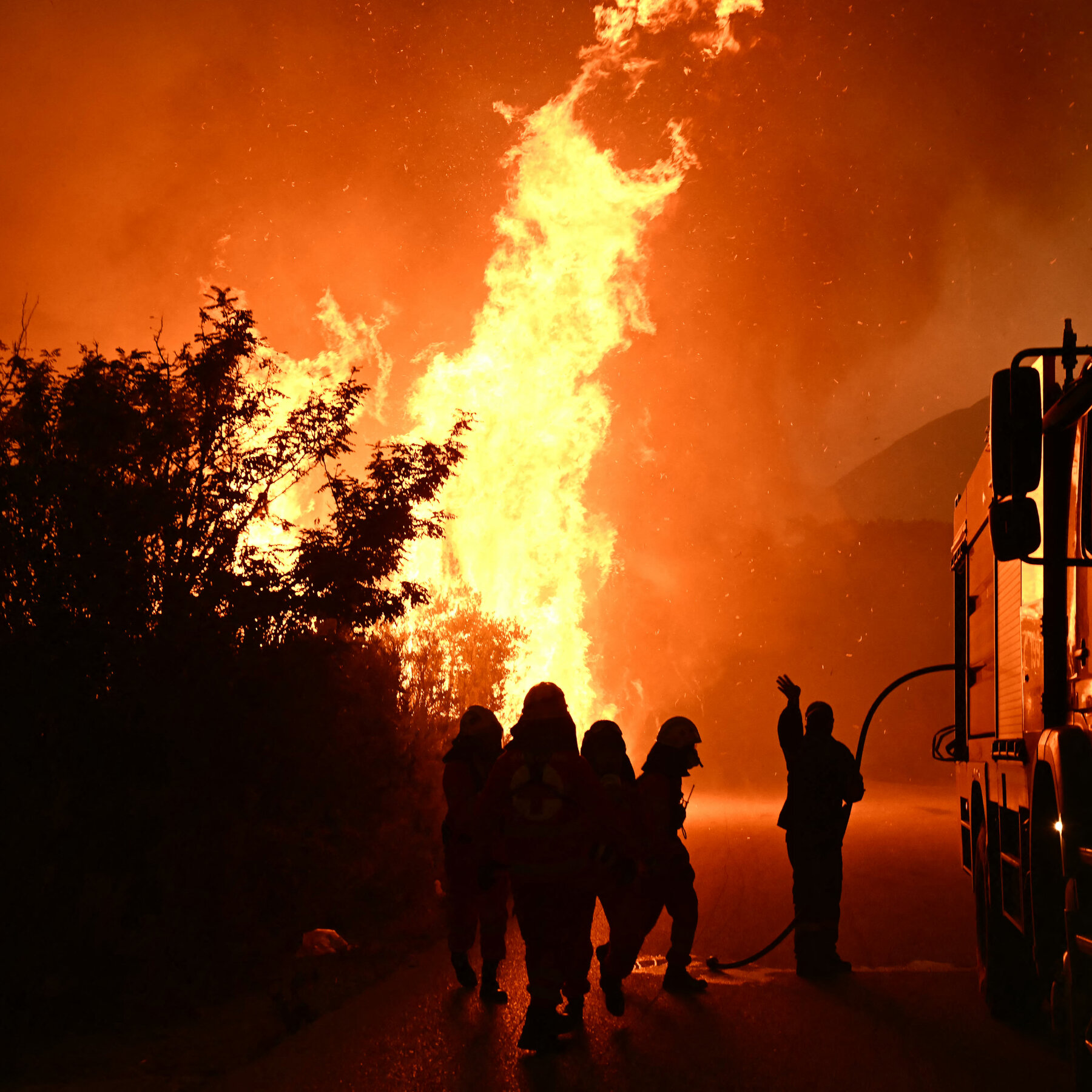
A team of engineers, foresters, and scientists is working to curb wildfires across Europe. They operate from a large science park in
A team of engineers, foresters, and scientists is working to curb
wildfires across Europe. They operate from a large science park in
Italy. The group leverages satellite imagery to monitor fire‑prone
areas. Advanced weather models help forecast fire‑risk conditions.
Expert analysis provides early warnings to authorities. Collaboration
spans multiple European nations. Their efforts aim to reduce damage
from future wildfires. Projects focus on high‑risk regions identified
by the data.